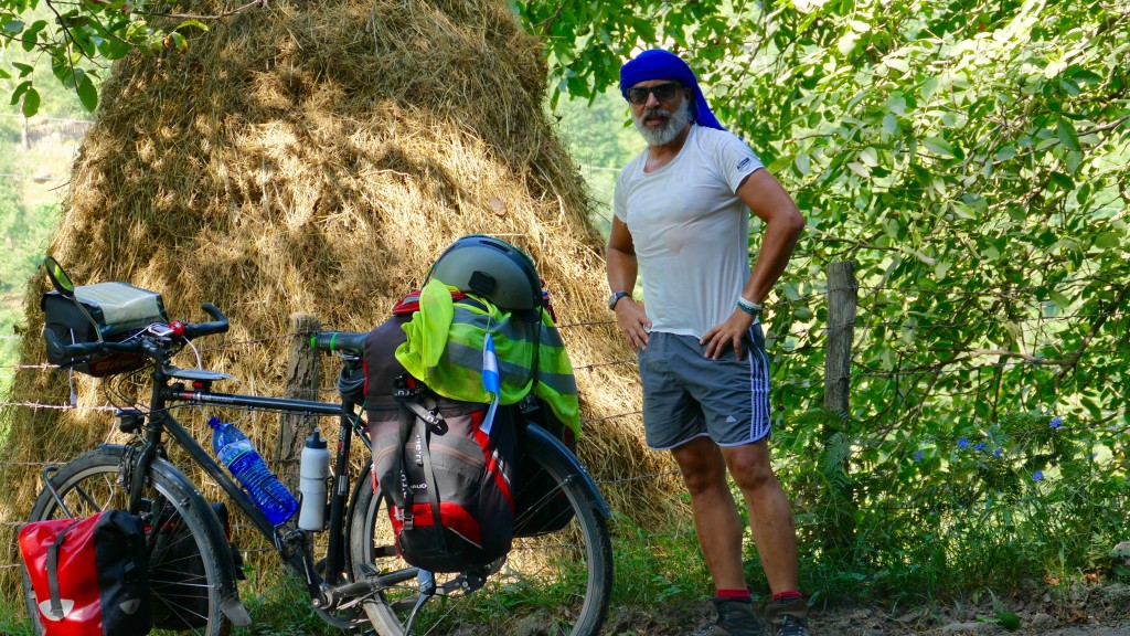
Georgien wird von zwei Bergketten von Ost nach West durchquert. Im Norden der Caucasus, der bildet die Grenze zur Russland und im Süden der Kleine Kaukasus, dieser Bildet die Grenze zur Türkei und Armenien.
die Einwohnerzahl Georgiens ca 3.800.000 Menschen beträgt?
das Gebiet vom heutigen Georgien schon vom Homus Erectus im paläolithisches Zeitalter besiedelt war?
die ersten Georgier (die Proto-Georgier) schon im 12. Jahrhundert v.Ch. hier gelebt haben?
verschiedene Funde, Metallerzeugnisse und Schmuckerstellung aus dem 6. Jahrhundert v.Ch.gefunden worden sind?
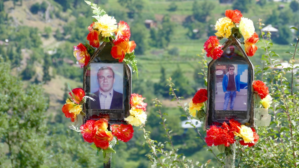
die Georgier bereits im 12. Jahrhundert v.Ch gesellschaftlich organisiert waren und von Feudalherren und Aristokratischen Familien geführt wurden? Dass sie trotz unterschiedliche Besatzungen in seiner Jahrtausender Geschichte Ihre Identität, Sprache und sogar Schrift bis heute beibehaltet haben?
die Besatzer Georgiens in seiner langen Geschichte u.A. die Assyrer, Hititen, Mongolen, Byzantiner, Römer, Perser, Osmanen, Russen und Soviets waren?
obwohl es ein erstes Georgisches Königreich bereits im Jahre 300 v.Ch gab, Georgien erst im Jahre 1991 endgültig Ihre Unabhängigkeit besiegelte?
der Name Georgien dem heiligen Sankt Georg von Lydda gewidmet zu sein scheint und dieser schon seit dem 12. Jahrhundert in Gebrauch ist?
eine hohe Korruptionsrate aufweist, nicht zuletzt auch als Folge der Jahrzehntelangen Kommunistischen Führung des Landes?
unter den bekanntesten Georgier, Josef Stalin und der eh. UDSSR Außenminister Schewardnaze zählen?
Militärische Auseinandersetzungen mit Russland in den 90er Jahre hatte, aufgrund der separatistischen Bewegungen der Regionen Abchasien und Süd-Osetien deren Konflikte noch nicht ganz gelöst sind?
die Zweisprachigkeit in Georgien mit der 2. Sprache Russisch ist?
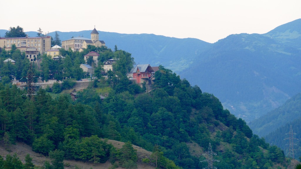
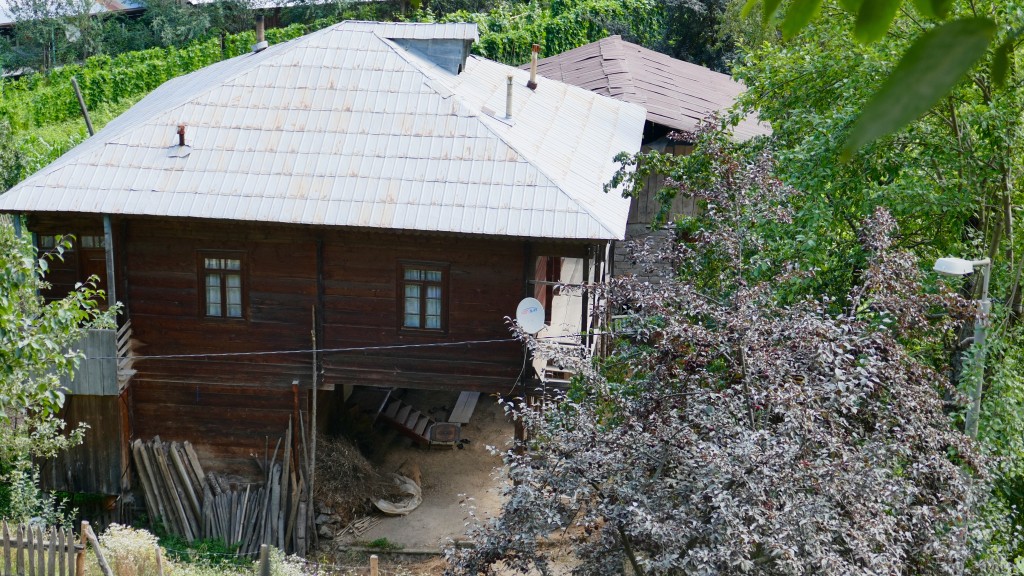
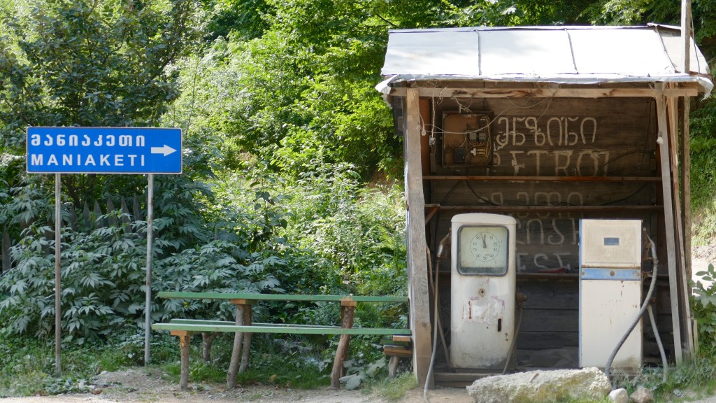
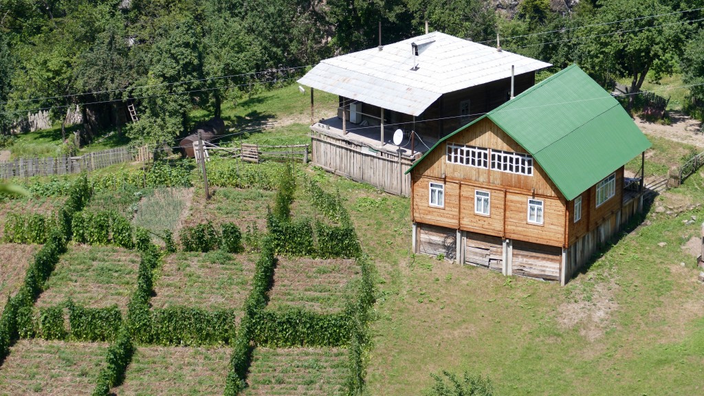
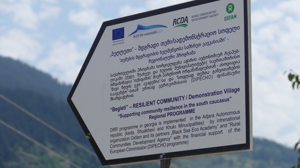
The town, formerly known as Khula, was a merchant place located on a medieval road that linked Samtskhe-Javakheti to the Black Sea coast.

Bitte hinterlasse eine Antwort